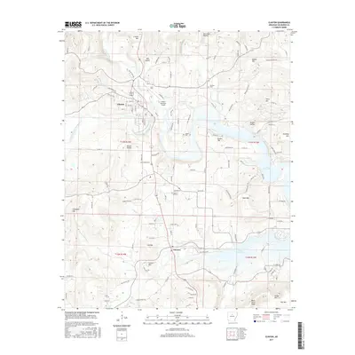
2017 Map of Clinton
USGS Topo · Published 2017About this map
Clinton and the surrounding Van Buren County landscape are defined by the convergence of the South Fork Little Red River and Archey Creek. This area, mapped in the modern era, shows the established street grid of the county seat alongside essential regional infrastructure like the Clinton Municipal Airport. The topography is a complex of hollows and named peaks, including Clinton Mtn and Story Mtn, which separate the river valleys.
Find a feature on this map
130 named features on this map. Tap any name to fly to it.
Don’t see what you’re looking for? This feature index may not catch every label — zoom into the map to look around manually.
Map Details
Editions of this 2017 Clinton Map
This is the sole edition of this map. No revisions or reprints were ever made.
Other maps of this area

1892 · Marshall
USGS Topo · 1:125,000

1892 · Mountain View
USGS Topo · 1:125,000

1892 · Morrillton
USGS Topo · 1:125,000

1894 · Mountain View
USGS Topo · 1:125,000

1894 · Morrillton
USGS Topo · 1:125,000

1894 · Marshall
USGS Topo · 1:125,000

1901 · Marshall
USGS Topo · 1:125,000

1956 · Russellville
USGS Topo · 1:250,000

1961 · Bee Branch
USGS Topo · 1:62,500

1961 · Bee Branch
USGS Topo · 1:24,000