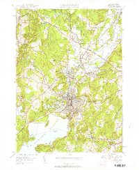
1950 Map of Clinton
USGS Topo · Published 1958About this map
The Wachusett Reservoir dominates the southern landscape of this mid-century survey, with its sprawling waters reaching into Prescott Cove and Hastings Cove. The industrial and educational character of the region is evident in the concentration of institutions around Clinton and Lancaster, including the Atlantic Union College and the State Industrial School. Along the Nashua River, older manufacturing footprints like the Ponakin Mill persist alongside the expanding infrastructure of the Fort Devens Military Reservation to the northeast.
Find a feature on this map
77 named features on this map. Tap any name to fly to it.
Don’t see what you’re looking for? This feature index may not catch every label — zoom into the map to look around manually.
Map Details
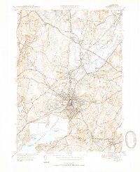
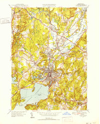
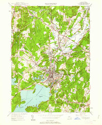
Editions of this 1950 Clinton Map
4 editions found
Other maps of this area

1885 · Worcester
USGS Topo · 1:62,500

1886 · Worcester
USGS Topo · 1:62,500

1887 · Marlboro
USGS Topo · 1:62,500

1887 · Fitchburg
USGS Topo · 1:62,500

1889 · Marlboro
USGS Topo · 1:62,500

1889 · Fitchburg
USGS Topo · 1:62,500

1892 · Worcester
USGS Topo · 1:62,500

1893 · Fitchburg
USGS Topo · 1:62,500

1893 · Groton
USGS Topo · 1:62,500

1896 · Marlboro
USGS Topo · 1:62,500