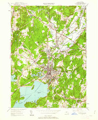
1950 Map of Clinton
USGS Topo · Published 1962About this map
Wachusett Reservoir dominates the southern landscape, its northern waters reaching toward the industrial heart of Clinton. The town's late-industrial era infrastructure is prominent, including the Nashua River corridor and a dense network of ponds like Coachlace Pond and South Meadow Pond that supported local manufacturing. To the north, the academic grounds of Atlantic Union College in South Lancaster and the State Industrial School establish the institutional character of the Lancaster area. The presence of the Fort Devens Military Reservation along the northern edge and the complex rail intersections of the Boston and Maine RR and Central Vermont RR reflect the region's importance as a mid-century transportation and military hub. Numerous family-named landmarks and cemeteries, including Oakhill Cem and St Johns Cem, offer significant details for genealogical research across the central Worcester County townships.
Find a feature on this map
102 named features on this map. Tap any name to fly to it.
Don’t see what you’re looking for? This feature index may not catch every label — zoom into the map to look around manually.
Map Details
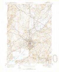
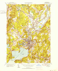
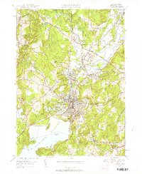
Editions of this 1950 Clinton Map
4 editions found
Other maps of this area

1885 · Worcester
USGS Topo · 1:62,500

1886 · Worcester
USGS Topo · 1:62,500

1887 · Marlboro
USGS Topo · 1:62,500

1887 · Fitchburg
USGS Topo · 1:62,500

1889 · Marlboro
USGS Topo · 1:62,500

1889 · Fitchburg
USGS Topo · 1:62,500

1892 · Worcester
USGS Topo · 1:62,500

1893 · Fitchburg
USGS Topo · 1:62,500

1893 · Groton
USGS Topo · 1:62,500

1896 · Marlboro
USGS Topo · 1:62,500