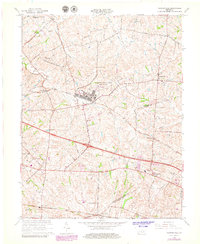
1965 Map of Clintonville
USGS Topo · Published 1979About this map
The Lexington Blue Grass Army Depot dominates the central landscape of this Kentucky survey, highlighting a significant military footprint between Avon and Clintonville. The area's transition into the mid-century is captured through its complex network of thoroughfares, including the Louisville and Nashville and Chesapeake and Ohio railroads that cross the region. Local communities such as Uttingertown, Columbus, and Pine Grove are mapped alongside important social landmarks like Briar Hill Sch and several country churches including Bethlehem Ch and Little Zion Ch. The drainage patterns of Hutchison Creek and Green Creek underscore the agricultural character of the Bluegrass region, while the inclusion of Creech Landing Field and modern pipelines reflects the infrastructure developments occurring through the 1960s.
Find a feature on this map
36 named features on this map. Tap any name to fly to it.
Don’t see what you’re looking for? This feature index may not catch every label — zoom into the map to look around manually.
Map Details
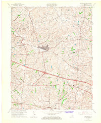
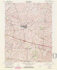
Editions of this 1965 Clintonville Map
3 editions found
Other maps of this area

1892 · Richmond
USGS Topo · 1:125,000

1897 · Richmond
USGS Topo · 1:125,000

1927 · Lexington
USGS Topo · 1:48,000

1929 · Lexington
USGS Topo · 1:62,500

1950 · Lexington East
USGS Topo · 1:24,000

1952 · Paris East
USGS Topo · 1:24,000

1952 · Coletown
USGS Topo · 1:24,000

1952 · Clintonville
USGS Topo · 1:24,000

1952 · Austerlitz
USGS Topo · 1:24,000

1952 · Ford
USGS Topo · 1:24,000