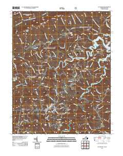
2011 Map of Clintwood
USGS Topo · Published 2011About this map
Clintwood serves as the focal point of this Dickenson County landscape, where the town street grid including Main St and Walnut St meets the winding Appalachian topography. The northern portion of the quadrangle is defined by the expansive John W. Flannagan Reservoir, a massive impoundment of the Pound River created by the Nicewonder Dam. This waterway carves deep into the ridges, creating distinctive features like Mullins Ridge and Cranes Nest Ridge.
Find a feature on this map
122 named features on this map. Tap any name to fly to it.
Don’t see what you’re looking for? This feature index may not catch every label — zoom into the map to look around manually.
Map Details
Editions of this 2011 Clintwood Map
This is the sole edition of this map. No revisions or reprints were ever made.
Other maps of this area

1886 · Grundy
USGS Topo · 1:125,000

1890 · Whitesburg
USGS Topo · 1:125,000

1890 · Grundy
USGS Topo · 1:125,000

1892 · Grundy
USGS Topo · 1:125,000

1892 · Whitesburg
USGS Topo · 1:125,000

1912 · Pound
USGS Topo · 1:48,000

1913 · Clintwood
USGS Topo · 1:62,500

1914 · Pound
USGS Topo · 1:62,500

1914 · Vergie
USGS Topo · 1:48,000

1915 · Clintwood
USGS Topo · 1:62,500