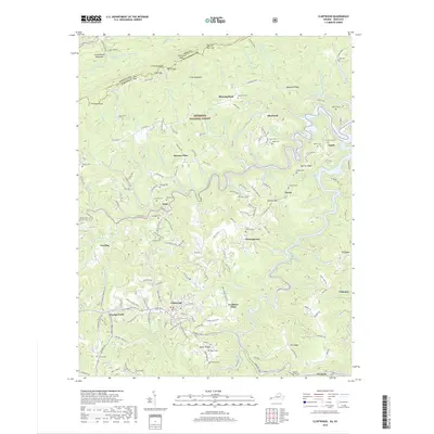
2019 Map of Clintwood
USGS Topo · Published 2019About this map
The town of Clintwood serves as a central hub in this Appalachian landscape, where the rugged topography of Pine Mountain and the Cumberland Mountain ridge dictates the settlement patterns of Dickenson County. The map reveals a high density of family cemeteries, including Newberry Cem, Wallace Cem, and Rakes Cem, which are often located on high ground overlooking narrow hollows. These burial sites provide significant genealogical value for researchers tracing local family lineages such as the Mullins, Stanleys, and Wallaces.
Find a feature on this map
104 named features on this map. Tap any name to fly to it.
Don’t see what you’re looking for? This feature index may not catch every label — zoom into the map to look around manually.
Map Details
Editions of this 2019 Clintwood Map
This is the sole edition of this map. No revisions or reprints were ever made.
Other maps of this area

1886 · Grundy
USGS Topo · 1:125,000

1890 · Whitesburg
USGS Topo · 1:125,000

1890 · Grundy
USGS Topo · 1:125,000

1892 · Grundy
USGS Topo · 1:125,000

1892 · Whitesburg
USGS Topo · 1:125,000

1912 · Pound
USGS Topo · 1:48,000

1913 · Clintwood
USGS Topo · 1:62,500

1914 · Pound
USGS Topo · 1:62,500

1914 · Vergie
USGS Topo · 1:48,000

1915 · Clintwood
USGS Topo · 1:62,500