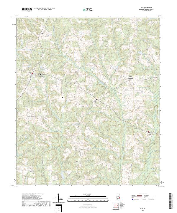
2024 Map of Clio
USGS Topo · Published 2024About this map
Clio serves as the central hub of this Barbour County landscape, situated at the intersection of Louisville St and Elamville St. The area's rural character is defined by a network of family and community-named landmarks, such as Easterling Pond, Kellys Pond, and Tillmans Pond. For those researching local heritage, the map identifies several burial grounds including Pea River Cem, Saint Peter Cem, and Sykes Creek Cem.
Find a feature on this map
41 named features on this map. Tap any name to fly to it.
Don’t see what you’re looking for? This feature index may not catch every label — zoom into the map to look around manually.
Map Details
Editions of this 2024 Clio Map
This is the sole edition of this map. No revisions or reprints were ever made.
Other maps of this area

1953 · Dothan
USGS Topo · 1:250,000

1954 · Dothan
USGS Topo · 1:250,000

1955 · Dothan
USGS Topo · 1:250,000

1967 · Clayton South
USGS Topo · 1:24,000

1968 · Louisville
USGS Topo · 1:24,000
1968 · Josie
USGS Topo · 1:24,000
1969 · Elamville
USGS Topo · 1:24,000
1969 · Clio
USGS Topo · 1:24,000
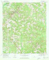
1969 · Ariton
USGS Topo · 1:24,000
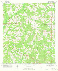
1969 · Texasville
USGS Topo · 1:24,000