Loading...
Loading map...2000 Map of Clio
USGS Topo · Published 2003About this map
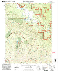
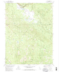
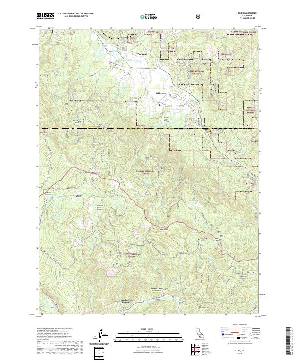
The Middle Fork Feather River carves through the northern reaches of this Sierra Nevada landscape, where the settlement of Clio sits at the head of the Mohawk Valley. This turn-of-the-millennium survey captures a region defined by its transition from historic resource extraction to residential and recreational use. Evidence of the area's mining heritage is scattered across the slopes, including the Hayden Mine, Woodchuck Mine, and Hayes Mine.
Find a feature on this map
54 named features on this map. Tap any name to fly to it.
Don’t see what you’re looking for? This feature index may not catch every label — zoom into the map to look around manually.
Map Details
Date Portrayed2000
Date Published2003
PublisherU.S. Geological Survey
Map TypeTopographic
Scale1:24,000
Physical Dimensions21.9 x 26.6 inches
Editions of this 2000 Clio Map
This is the sole edition of this map. No revisions or reprints were ever made.
Historical Maps of Clio Through Time
6 maps found
Featured Locations
Source Details
SourceU.S. Geological Survey
CopyrightPublic Domain