
1919 Map of Clodine
USGS Topo · Published 1919About this map
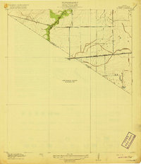
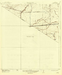
Harris Co Fort Bend Co boundary lines bisect this 1915 survey area, documenting the coastal prairie landscape west of Houston during a transitional period for regional transportation. The map reveals the shifting infrastructure of the era, notably the Texas Western RR (Abandoned) line running nearly parallel to the active San Antonio and Aransas Pass RR. These rail corridors were vital for the development of small siding settlements like Clodine and Howell.
Find a feature on this map
11 named features on this map. Tap any name to fly to it.
Don’t see what you’re looking for? This feature index may not catch every label — zoom into the map to look around manually.
Map Details
Editions of this 1919 Clodine Map
3 editions found
Other maps of this area

1915 · Alief
USGS Topo · 1:24,000

1915 · Katy
USGS Topo · 1:24,000

1915 · Addicks
USGS Topo · 1:24,000

1915 · Hillendahl
USGS Topo · 1:24,000

1915 · Clodine
USGS Topo · 1:24,000

1918 · Addicks
USGS Topo · 1:31,680

1918 · Hillendahl
USGS Topo · 1:31,680

1950 · Houston
USGS Topo · 1:250,000
1955 · Addicks
USGS Topo · 1:62,500

1955 · Sugar Land
USGS Topo · 1:62,500