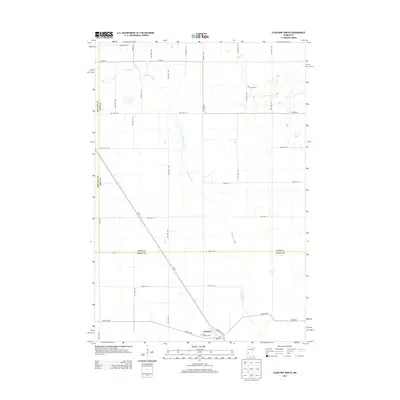
2013 Map of Clontarf North
USGS Topo · Published 2013About this map
The Chippewa River meanders across this rural landscape, shaping the boundaries where Stevens, Pope, and Swift counties meet. The small settlement of Clontarf serves as a local hub near the southern edge of the sheet, marked by its Po and the Saint Malachy Cem nearby. This 2013 survey illustrates the highly structured agricultural grid of West Central Minnesota, where numerous township roads like TWP HWY T-20 and TWP HWY T-256 facilitate movement between scattered farmsteads. To the north, W Zion Cem stands as a quiet landmark amidst the expansive fields. The presence of County Ditch Number Twentythree highlights the engineering required to manage water in this prairie region, supporting a robust farming economy centered around the transport corridor of MN-9.
Find a feature on this map
39 named features on this map. Tap any name to fly to it.
Don’t see what you’re looking for? This feature index may not catch every label — zoom into the map to look around manually.
Map Details
Editions of this 2013 Clontarf North Map
This is the sole edition of this map. No revisions or reprints were ever made.
Other maps of this area

1912 · Morris
USGS Topo · 1:62,500

1953 · Saint Cloud
USGS Topo · 1:250,000

1957 · Saint Cloud
USGS Topo · 1:250,000

1958 · Saint Cloud
USGS Topo · 1:250,000

1968 · Cyrus
USGS Topo · 1:24,000

1968 · Starbuck
USGS Topo · 1:24,000

1968 · Danvers
USGS Topo · 1:24,000

1968 · Hancock
USGS Topo · 1:24,000

1968 · Lake Hassel
USGS Topo · 1:24,000

1968 · Benson
USGS Topo · 1:24,000