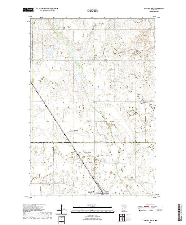
2022 Map of Clontarf North
USGS Topo · Published 2022About this map
The Chippewa River winds through this section of the Minnesota prairie, defining the drainage patterns and wetlands of Pope and Swift Counties. This 2022 survey documents a largely agricultural landscape organized by a precise grid of township and county roads, including Co Hwy 2 and Co Hwy 7. The southern edge of the map features the village of Clontarf, situated near the Saint Malachy Cem. Further north, the West Zion Cem stands as a landmark in the open countryside. Significant water management is evident through features like the County Ditch Number Twentythree, which reflects the long-standing efforts to adapt this low-lying terrain for farming. The map serves as a contemporary record of local boundaries, marking the intersections of Stevens, Pope, and Swift Counties.
Find a feature on this map
48 named features on this map. Tap any name to fly to it.
Don’t see what you’re looking for? This feature index may not catch every label — zoom into the map to look around manually.
Map Details
Editions of this 2022 Clontarf North Map
This is the sole edition of this map. No revisions or reprints were ever made.
Other maps of this area

1912 · Morris
USGS Topo · 1:62,500

1953 · Saint Cloud
USGS Topo · 1:250,000

1957 · Saint Cloud
USGS Topo · 1:250,000

1958 · Saint Cloud
USGS Topo · 1:250,000

1968 · Cyrus
USGS Topo · 1:24,000

1968 · Starbuck
USGS Topo · 1:24,000

1968 · Danvers
USGS Topo · 1:24,000

1968 · Hancock
USGS Topo · 1:24,000

1968 · Lake Hassel
USGS Topo · 1:24,000

1968 · Benson
USGS Topo · 1:24,000