
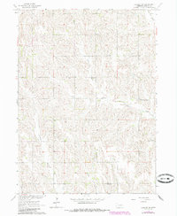
1963 Map of Closter SW
USGS Topo · Published 1964About this map
O'Neil Valley and the surrounding Nebraska ranchland characterize this mid-century survey of Boone County. The landscape is defined by the drainage patterns of North Branch Shell Creek and Shell Creek, which cut through the undulating terrain of Midland and Shell Creek Townships. The map documents a highly decentralized rural society, marked by a dense network of country schools including School No. 78, School No. 62, and School No. 22. A notable focal point for the community is the South Branch Immanuel Ch, which stands near a small Cem and School No. 57 east of the valley. This 1963 field-checked study offers a precise look at the section-line roads and field boundaries before later agricultural consolidation altered the local geography.
Find a feature on this map
13 named features on this map. Tap any name to fly to it.
Don’t see what you’re looking for? This feature index may not catch every label — zoom into the map to look around manually.
Map Details
Editions of this 1963 Closter SW Map
2 editions found
Other maps of this area

1954 · Albion West
USGS Topo · 1:24,000

1955 · Broken Bow
USGS Topo · 1:250,000

1955 · Fremont
USGS Topo · 1:250,000

1956 · Broken Bow
USGS Topo · 1:250,000

1957 · Fremont
USGS Topo · 1:250,000

1958 · Fremont
USGS Topo · 1:250,000

1958 · Albion East
USGS Topo · 1:24,000

1963 · Petersburg
USGS Topo · 1:24,000

1963 · Closter SE
USGS Topo · 1:24,000
1963 · Closter
USGS Topo · 1:24,000