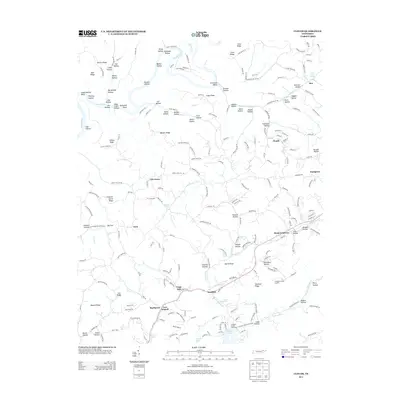
2013 Map of Clouds
USGS Topo · Published 2013About this map
The Powell River winds through a landscape of deep hollows and high ridges in this northeastern Tennessee topography, which includes the upper reaches of Norris Lake. Settled pockets like Lily Grove, Goin, and Clouds are linked by a dense network of country roads such as Locust Grove Rd and Bunch Hollow Rd, reflecting a rural community structure centered on the region's complex drainages. Notable local industrial and community landmarks include the Cupp Mill and the Straight Creek Boat Dock, illustrating the long-standing relationship between local residents and the water.
Find a feature on this map
114 named features on this map. Tap any name to fly to it.
Don’t see what you’re looking for? This feature index may not catch every label — zoom into the map to look around manually.
Map Details
Editions of this 2013 Clouds Map
This is the sole edition of this map. No revisions or reprints were ever made.
Other maps of this area

1886 · Cumberland Gap
USGS Topo · 1:125,000

1888 · Cumberland Gap
USGS Topo · 1:125,000

1891 · Cumberland Gap
USGS Topo · 1:125,000

1897 · Maynardville
USGS Topo · 1:125,000

1900 · Maynardville
USGS Topo · 1:125,000

1903 · Middlesboro
USGS Topo · 1:48,000

1927 · Middlesboro
USGS Topo · 1:62,500

1930 · Middlesboro
USGS Topo · 1:62,500

1935 · Mingo Mountains
USGS Topo · 1:24,000

1935 · Cumberland Gap
USGS Topo · 1:24,000