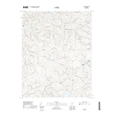
2019 Map of Clouds
USGS Topo · Published 2019About this map
New Tazewell and the surrounding Claiborne County terrain are defined by a rhythmic sequence of ridges and hollows that drop toward the southern reaches of the Powell River. This landscape is marked by numerous family-named landmarks and historical burial grounds, such as the Moody Cem, Mayes Cem, and Skaggs Cem, which offer significant value for genealogical research in this part of Tennessee. To the south, the waters of Norris Lake reach into the valleys, while features like the Big Sink suggest the underlying karst topography of the region.
Find a feature on this map
196 named features on this map. Tap any name to fly to it.
Don’t see what you’re looking for? This feature index may not catch every label — zoom into the map to look around manually.
Map Details
Editions of this 2019 Clouds Map
This is the sole edition of this map. No revisions or reprints were ever made.
Other maps of this area

1886 · Cumberland Gap
USGS Topo · 1:125,000

1888 · Cumberland Gap
USGS Topo · 1:125,000

1891 · Cumberland Gap
USGS Topo · 1:125,000

1897 · Maynardville
USGS Topo · 1:125,000

1900 · Maynardville
USGS Topo · 1:125,000

1903 · Middlesboro
USGS Topo · 1:48,000

1927 · Middlesboro
USGS Topo · 1:62,500

1930 · Middlesboro
USGS Topo · 1:62,500

1935 · Mingo Mountains
USGS Topo · 1:24,000

1935 · Cumberland Gap
USGS Topo · 1:24,000