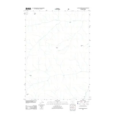
2012 Map of Clouds Home Peak
USGS Topo · Published 2012About this map
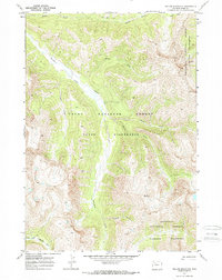
Clouds Home Peak and Kingfisher Peak anchor this high-altitude landscape in Park County, where the drainage patterns of the Absaroka Range define the terrain. The hydrological network is dominated by Ishawooa Cr and Lapalli Cr, which carve through the high country alongside Seoria Cr and Deer Cr. The map reveals a wilderness largely devoid of modern development, save for the presence of 6wx RD in the southeast corner.
Find a feature on this map
13 named features on this map. Tap any name to fly to it.
Don’t see what you’re looking for? This feature index may not catch every label — zoom into the map to look around manually.
Map Details
Editions of this 2012 Clouds Home Peak Map
This is the sole edition of this map. No revisions or reprints were ever made.
Other maps of this area

1893 · Ishawooa
USGS Topo · 1:125,000

1895 · Ishawooa
USGS Topo · 1:125,000

1899 · Ishawooa
USGS Topo · 1:125,000

1955 · Cody
USGS Topo · 1:250,000

1958 · Cody
USGS Topo · 1:250,000

1962 · Cody
USGS Topo · 1:250,000
1970 · Sheep Mesa
USGS Topo · 1:24,000
1970 · Fall Creek
USGS Topo · 1:24,000
1970 · Ptarmigan Mountain
USGS Topo · 1:24,000
1970 · Yellow Mountain
USGS Topo · 1:24,000