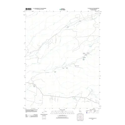
2012 Map of Clough Gulch
USGS Topo · Published 2012About this map
Old Cow Cr and S Cow Cr carve a series of deep ravines across this portion of Shasta County, defining a landscape shaped by water and early infrastructure. The map reveals a rural network of small settlements and industrial markers, notably the Cow Creek Powerhouse and its associated Cow Creek Forebay. These features, along with names like Wagoner and Wagoner Canyon, suggest an era of local utility development and land use tied to the region's steep topography.
Find a feature on this map
36 named features on this map. Tap any name to fly to it.
Don’t see what you’re looking for? This feature index may not catch every label — zoom into the map to look around manually.
Map Details
Editions of this 2012 Clough Gulch Map
This is the sole edition of this map. No revisions or reprints were ever made.
Other maps of this area

1886 · Lassen Peak
USGS Topo · 1:250,000

1890 · Red Bluff
USGS Topo · 1:250,000

1892 · Lassen Peak
USGS Topo · 1:250,000

1894 · Lassen Peak
USGS Topo · 1:250,000

1894 · Red Bluff
USGS Topo · 1:250,000

1901 · Redding
USGS Topo · 1:125,000

1935 · Burney
USGS Topo · 1:96,000

1935 · Paynes Creek
USGS Topo · 1:96,000

1939 · Burney
USGS Topo · 1:125,000

1941 · Mineral
USGS Topo · 1:125,000