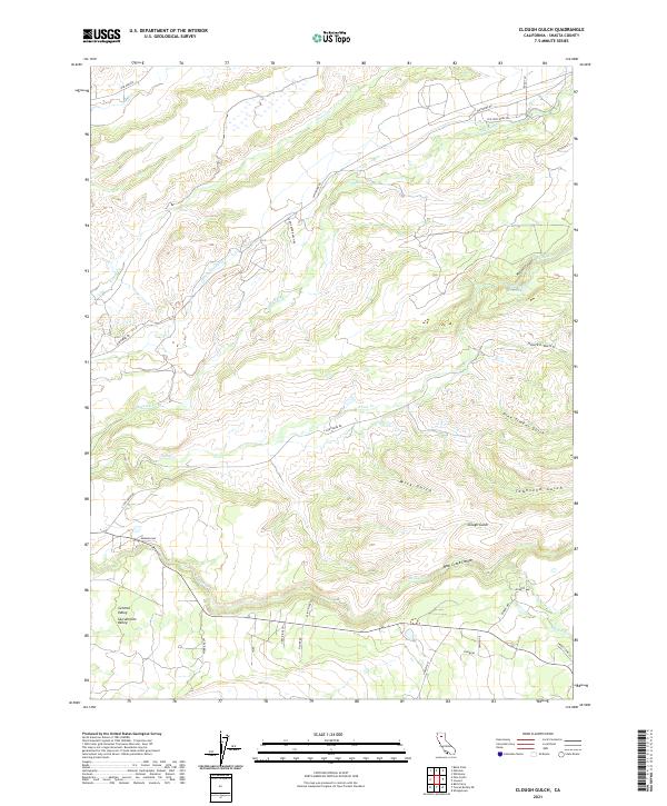
2021 Map of Clough Gulch
USGS Topo · Published 2021About this map
Old Cow Creek and the South Cow Creek drainages dominate this northern California landscape, which transitions between the lower reaches of the Sacramento Valley and the rising foothills of Shasta County. The topography is defined by a series of parallel ravines and gulches, most notably Clough Gulch and Townsend Gulch, which cut through the ridges between Bear Creek Canyon and the surrounding highlands. This area illustrates the complex water management and natural drainage systems east of the Central Valley.
Find a feature on this map
40 named features on this map. Tap any name to fly to it.
Don’t see what you’re looking for? This feature index may not catch every label — zoom into the map to look around manually.
Map Details
Editions of this 2021 Clough Gulch Map
This is the sole edition of this map. No revisions or reprints were ever made.
Other maps of this area

1886 · Lassen Peak
USGS Topo · 1:250,000

1890 · Red Bluff
USGS Topo · 1:250,000

1892 · Lassen Peak
USGS Topo · 1:250,000

1894 · Lassen Peak
USGS Topo · 1:250,000

1894 · Red Bluff
USGS Topo · 1:250,000

1901 · Redding
USGS Topo · 1:125,000

1935 · Burney
USGS Topo · 1:96,000

1935 · Paynes Creek
USGS Topo · 1:96,000

1939 · Burney
USGS Topo · 1:125,000

1941 · Mineral
USGS Topo · 1:125,000