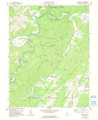
1977 Map of Clover Lick
USGS Topo · Published 1991About this map
The Greenbrier River carves a deep path through this portion of Pocahontas County, dictating the development of riverside settlements like Stony Bottom and Clover Lick. Along the riverbanks, the Chesapeake and Ohio railroad corridor highlights the historical importance of rail transport in these narrow valleys. The landscape is dominated by the heavily timbered slopes of the Monongahela National Forest and Seneca State Forest, where terrain features like Thomas Mountain and Thorny Mountain rise above the drainage basins of Sittington Creek and Thorny Creek.
Find a feature on this map
60 named features on this map. Tap any name to fly to it.
Don’t see what you’re looking for? This feature index may not catch every label — zoom into the map to look around manually.
Map Details
Editions of this 1977 Clover Lick Map
2 editions found
Other maps of this area

1891 · Huntersville
USGS Topo · 1:125,000

1894 · Huntersville
USGS Topo · 1:125,000

1901 · Monterey
USGS Topo · 1:125,000

1922 · Cass
USGS Topo · 1:48,000

1923 · Marlinton
USGS Topo · 1:48,000

1923 · Warm Springs
USGS Topo · 1:48,000

1923 · Mingo
USGS Topo · 1:48,000

1924 · Cass
USGS Topo · 1:62,500

1925 · Mingo
USGS Topo · 1:62,500

1925 · Marlinton
USGS Topo · 1:62,500