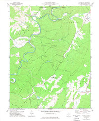
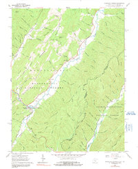
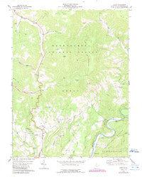
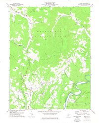
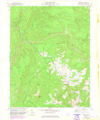
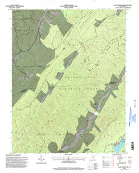
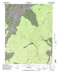
1977 Map of Clover Lick
USGS Topo · Published 1977This historical map portrays the area of Clover Lick in 1977, primarily covering Pocahontas County. Featuring a scale of 1:24000, this map provides a highly detailed snapshot of the terrain, roads, buildings, counties, and historical landmarks in the Clover Lick region at the time. Published in 1977, it is one of 2 known editions of this map due to revisions or reprints.
Find a feature on this map
63 named features on this map. Tap any name to fly to it.
Don’t see what you’re looking for? This feature index may not catch every label — zoom into the map to look around manually.
Map Details
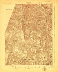
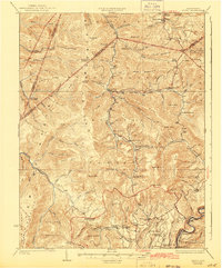
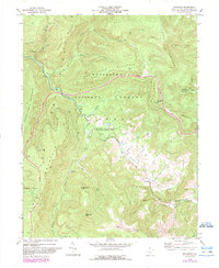
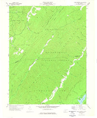
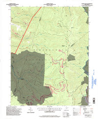
Editions of this 1977 Clover Lick Map
2 editions found
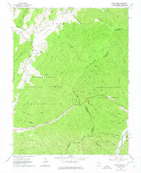
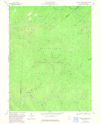
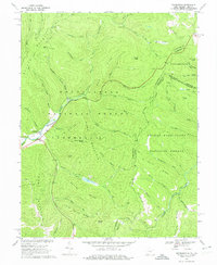
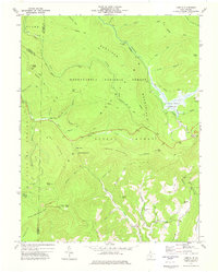
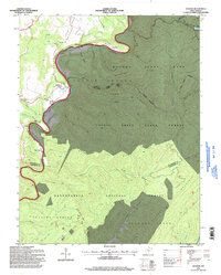
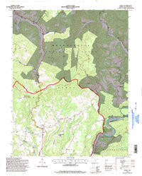
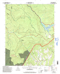
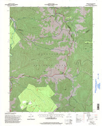
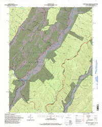
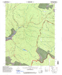
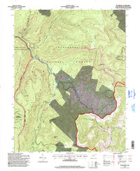
Historical Maps of Clover Lick Through Time
28 maps found
1923 Mingo
Pocahontas County, WV
1925 Mingo
Pocahontas County, WV
1961 Paddy Knob
Pocahontas County, WV
1962 Minnehaha Springs
Pocahontas County, WV
1967 Webster Springs SE
Pocahontas County, WV
1969 Thornwood
Pocahontas County, WV
1973 Lobelia
Pocahontas County, WV
1974 Edray
Pocahontas County, WV
1974 Woodrow
Pocahontas County, WV
1977 Clover Lick
Pocahontas County, WV
1977 Denmar
Pocahontas County, WV
1977 Edray
Pocahontas County, WV
1977 Lake Sherwood
Pocahontas County, WV
1977 Mingo
Pocahontas County, WV
1977 Sharp Knob
Pocahontas County, WV
1977 Woodrow
Pocahontas County, WV
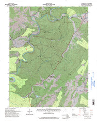
1995 Clover Lick
Pocahontas County, WV
1995 Denmar
Pocahontas County, WV
1995 Edray
Pocahontas County, WV
1995 Lake Sherwood
Pocahontas County, WV
1995 Lobelia
Pocahontas County, WV
1995 Mingo
Pocahontas County, WV
1995 Minnehaha Springs
Pocahontas County, WV
1995 Paddy Knob
Pocahontas County, WV
1995 Sharp Knob
Pocahontas County, WV
1995 Thornwood
Pocahontas County, WV

1995 Webster Springs SE
Pocahontas County, WV
1995 Woodrow
Pocahontas County, WV