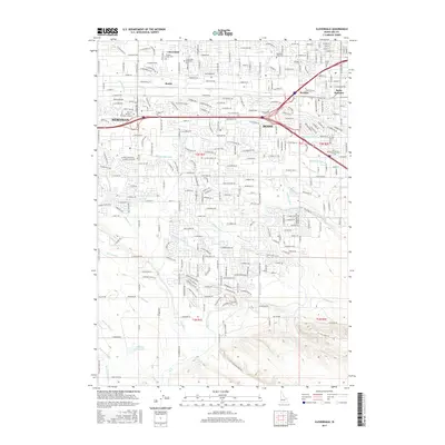
2017 Map of Cloverdale
USGS Topo · Published 2017About this map
Canals and laterals define the semi-arid landscape of this portion of the Treasure Valley, where an intricate irrigation network including the Ridenbaugh Canal, New York Canal, and Wilson Fruit Lateral supports the expansion of Boise and Meridian. The map captures a moment of intensive suburban infill between these two growing cities, with the Interstate 84 corridor serving as a primary artery. Local history and genealogy interests are centered on prominent burial grounds such as Lawn Cem, Mountain View Cem, and the expansive Cloverdale Memorial Park. To the south, the terrain transitions from dense residential developments to the open waters of the Hubbard Reservoir and the drainage of Ten Mile Creek. Named locations like Beatty, Perkins, and Boise Junction represent specific nodes of settlement and industry within this rapidly evolving residential and commercial landscape.
Find a feature on this map
120 named features on this map. Tap any name to fly to it.
Don’t see what you’re looking for? This feature index may not catch every label — zoom into the map to look around manually.
Map Details
Editions of this 2017 Cloverdale Map
This is the sole edition of this map. No revisions or reprints were ever made.
Other maps of this area

1892 · Boise
USGS Topo · 1:125,000

1892 · Bisuka
USGS Topo · 1:125,000

1894 · Bisuka
USGS Topo · 1:125,000

1897 · Boise
USGS Topo · 1:125,000

1953 · Eagle
USGS Topo · 1:24,000

1953 · Cloverdale
USGS Topo · 1:24,000

1953 · Meridian
USGS Topo · 1:24,000

1953 · Star
USGS Topo · 1:24,000

1954 · Boise South
USGS Topo · 1:24,000

1954 · Boise North
USGS Topo · 1:24,000