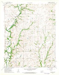
1962 Map of Cloverdale
USGS Topo · Published 1963About this map
The Caney River carves a deep, winding path through this portion of Chautauqua County, defining the drainage patterns of the surrounding uplands in the early 1960s. The settlement of Cloverdale serves as a local focal point, supported by nearby landmarks including the Old Cloverdale Cem and the New Cloverdale Cem. The landscape is etched by a dense network of tributaries like Turkey Creek, Squaw Creek, and Union Creek, which feed into the larger river valley.
Find a feature on this map
18 named features on this map. Tap any name to fly to it.
Don’t see what you’re looking for? This feature index may not catch every label — zoom into the map to look around manually.
Map Details
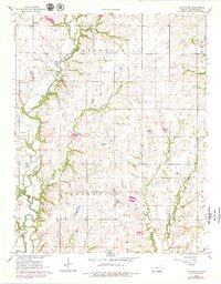
Editions of this 1962 Cloverdale Map
2 editions found
Other maps of this area

1885 · Sedan
USGS Topo · 1:125,000

1889 · Burden
USGS Topo · 1:125,000

1889 · Sedan
USGS Topo · 1:125,000

1955 · Wichita
USGS Topo · 1:250,000

1958 · Wichita
USGS Topo · 1:250,000
1962 · Cedar Vale West
USGS Topo · 1:24,000

1962 · Moline
USGS Topo · 1:24,000

1962 · Grand Summit
USGS Topo · 1:24,000
1962 · Cedar Vale East
USGS Topo · 1:24,000

1962 · Elgin NE
USGS Topo · 1:24,000