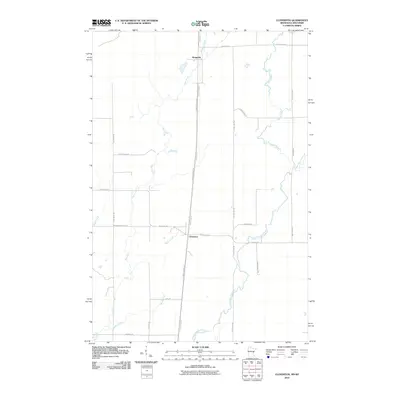
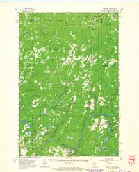
2010 Map of Cloverton
USGS Topo · Published 2010About this map
Cloverton and Kingsdale anchor this landscape along the border of Minnesota and Wisconsin, where the terrain is defined by a dense network of watercourses and rural corridors. The Upper Tamarack River winds through the southern portion of the quadrangle, joined by tributaries such as Bjorks Creek and Hay Creek. The mapping reveals a transition in land use, marked by the prominent Gandy Dancer Trl, which follows a straight north-south path through the center of the area.
Find a feature on this map
27 named features on this map. Tap any name to fly to it.
Don’t see what you’re looking for? This feature index may not catch every label — zoom into the map to look around manually.
Map Details
Editions of this 2010 Cloverton Map
This is the sole edition of this map. No revisions or reprints were ever made.
Other maps of this area
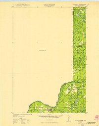
1949 · Danbury
USGS Topo · 1:48,000
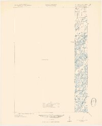
1949 · Holyoke
USGS Topo · 1:48,000
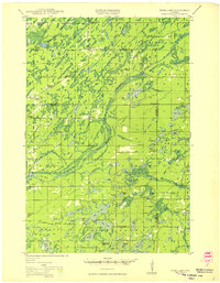
1949 · Webb Lake
USGS Topo · 1:48,000
1949 · Patzau
USGS Topo · 1:48,000

1953 · Duluth
USGS Topo · 1:250,000
1955 · Webb Lake
USGS Topo · 1:62,500
1955 · Patzau
USGS Topo · 1:62,500

1958 · Duluth
USGS Topo · 1:250,000
1962 · Holyoke
USGS Topo · 1:62,500
1962 · Danbury
USGS Topo · 1:62,500