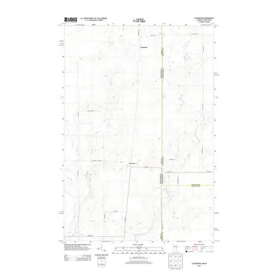
2013 Map of Cloverton
USGS Topo · Published 2013About this map
Cloverton and Kingsdale sit at the center of this borderland survey, where the pine forests of eastern Minnesota meet the wetlands of Douglas and Burnett Counties in Wisconsin. The landscape is defined by its complex drainage network, most notably the Upper Tamarack River and Spruce River winding through the eastern half of the quadrangle. These waterways, along with smaller tributaries like Bjorks Cr and Hay Cr, dictate the placement of the sparse road network. A clear north-south axis is formed by the Minnesota-Wisconsin state line, which also serves as a county boundary for Pine, Douglas, and Burnett. Rural routes such as S Swedish Hwy and Stateline Rd connect these remote outposts, reflecting a region where development is heavily influenced by the intersecting political boundaries and the saturated river bottoms of the Northwoods.
Find a feature on this map
27 named features on this map. Tap any name to fly to it.
Don’t see what you’re looking for? This feature index may not catch every label — zoom into the map to look around manually.
Map Details
Editions of this 2013 Cloverton Map
This is the sole edition of this map. No revisions or reprints were ever made.
Other maps of this area

1949 · Danbury
USGS Topo · 1:48,000

1949 · Holyoke
USGS Topo · 1:48,000

1949 · Webb Lake
USGS Topo · 1:48,000

1949 · Patzau
USGS Topo · 1:48,000

1953 · Duluth
USGS Topo · 1:250,000

1955 · Webb Lake
USGS Topo · 1:62,500

1955 · Patzau
USGS Topo · 1:62,500

1958 · Duluth
USGS Topo · 1:250,000

1962 · Holyoke
USGS Topo · 1:62,500

1962 · Danbury
USGS Topo · 1:62,500