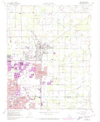
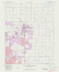
1964 Map of Clovis
USGS Topo · Published 1974About this map
Clovis and the northern outskirts of Fresno represent an area in transition during the mid-1960s, where the agricultural legacy of the San Joaquin Valley meets postwar urban expansion. The landscape is defined by a dense network of irrigation features like the Enterprise Canal and Leonard Canal, which supported the surrounding orchards and fields. Extensive rail infrastructure from the Southern Pacific and Atchison Topeka and Santa Fe lines underscores the region's importance as a distribution hub.
Find a feature on this map
61 named features on this map. Tap any name to fly to it.
Don’t see what you’re looking for? This feature index may not catch every label — zoom into the map to look around manually.
Map Details
Editions of this 1964 Clovis Map
5 editions found
Other maps of this area

1921 · Bullard
USGS Topo · 1:31,680

1922 · Round Mountain
USGS Topo · 1:31,680

1922 · Lanes Bridge
USGS Topo · 1:31,680

1922 · Friant
USGS Topo · 1:31,680

1923 · Malaga
USGS Topo · 1:31,680

1923 · Academy
USGS Topo · 1:31,680

1923 · Fresno
USGS Topo · 1:31,680

1923 · Clovis
USGS Topo · 1:31,680

1923 · Sanger
USGS Topo · 1:31,680

1923 · Bullard
USGS Topo · 1:31,680