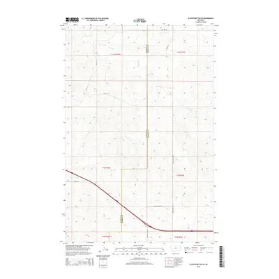
2014 Map of Cluster Buttes SE
USGS Topo · Published 2014About this map
The boundary between Dawson Co and Wibaux Co bisects this eastern Montana landscape, where drainage patterns are defined by the winding paths of Box Elder Cr in the north and Krug Cr in the south. This 2014 survey documents a sparsely settled ranching region characterized by an extensive network of rural routes and access ways. The southern portion of the area is bisected by a major interstate corridor, paralleled by Road 106, which connects with specialized local infrastructure like Ranch Access Rd N and Ranch Access Rd S. The map provides a clear look at the Public Land Survey System divisions, including t16n r58e and t15n r59e, illustrating how historical land partitioning continues to shape modern property and road layouts like Dawson Trail Rd.
Find a feature on this map
17 named features on this map. Tap any name to fly to it.
Don’t see what you’re looking for? This feature index may not catch every label — zoom into the map to look around manually.
Map Details
Editions of this 2014 Cluster Buttes SE Map
This is the sole edition of this map. No revisions or reprints were ever made.
Other maps of this area

1909 · Glendive
USGS Topo · 1:250,000

1953 · Miles City
USGS Topo · 1:250,000

1954 · Glendive
USGS Topo · 1:250,000

1957 · Miles City
USGS Topo · 1:250,000

1957 · Glendive
USGS Topo · 1:250,000

1958 · Miles City
USGS Topo · 1:250,000

1958 · Glendive
USGS Topo · 1:250,000

1981 · Glendive
USGS Topo · 1:100,000

1981 · Wibaux
USGS Topo · 1:100,000

1982 · Hodges
USGS Topo · 1:24,000