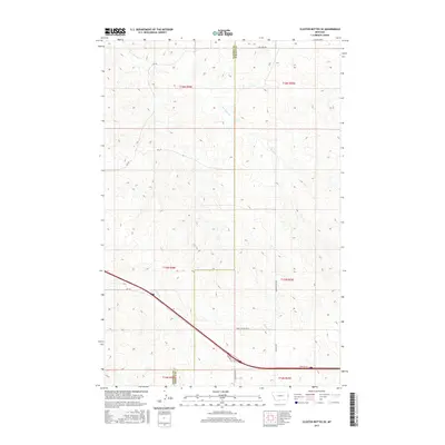
2017 Map of Cluster Buttes SE
USGS Topo · Published 2017About this map
The boundary between Dawson Co and Wibaux Co divides the landscape of this 2017 survey, where the open rangeland is defined by intermittent drainages and a sparse network of section-line roads. The drainage of Box Elder Cr meanders through the northern half of the quadrangle, while Krug Cr cuts across the southwest, paralleling the modern transportation corridor. This area reflects the modern grazing and ranching economy of eastern Montana, with named access routes like Ranch Access Rd N and Dawson Trail Rd providing vital connections between remote holdings. The presence of Frontage Rd and Rd 106 in the southern sections indicates proximity to larger regional arteries, illustrating how 21st-century infrastructure overlays the traditional township and range grid system.
Find a feature on this map
19 named features on this map. Tap any name to fly to it.
Don’t see what you’re looking for? This feature index may not catch every label — zoom into the map to look around manually.
Map Details
Editions of this 2017 Cluster Buttes SE Map
This is the sole edition of this map. No revisions or reprints were ever made.
Other maps of this area

1909 · Glendive
USGS Topo · 1:250,000

1953 · Miles City
USGS Topo · 1:250,000

1954 · Glendive
USGS Topo · 1:250,000

1957 · Miles City
USGS Topo · 1:250,000

1957 · Glendive
USGS Topo · 1:250,000

1958 · Miles City
USGS Topo · 1:250,000

1958 · Glendive
USGS Topo · 1:250,000

1981 · Glendive
USGS Topo · 1:100,000

1981 · Wibaux
USGS Topo · 1:100,000

1982 · Hodges
USGS Topo · 1:24,000