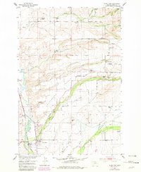
1951 Map of Clyde Park
USGS Topo · Published 1981About this map
The Shields River valley anchors this mid-century look at Park County, where the town of Clyde Park serves as a hub for the surrounding ranching community. The landscape is defined by the high, flat expanse of the Cottonwood Bench and the prominent landmark known as Squaws Tit. A web of irrigation ditches and creeks, including Horse Creek and Cottonwood Creek, supports a network of family-held properties such as the Thompson Ranch, Fisher Ranch, and Carroll Ranch.
Find a feature on this map
45 named features on this map. Tap any name to fly to it.
Don’t see what you’re looking for? This feature index may not catch every label — zoom into the map to look around manually.
Map Details
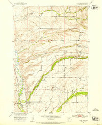
Editions of this 1951 Clyde Park Map
3 editions found

Other maps of this area

1886 · Little Belt Mts.
USGS Topo · 1:250,000

1891 · Livingston
USGS Topo · 1:250,000

1893 · Livingston
USGS Topo · 1:250,000

1894 · Little Belt Mts.
USGS Topo · 1:250,000

1897 · Little Belt Mts.
USGS Topo · 1:250,000

1898 · Little Belt Mts.
USGS Topo · 1:250,000

1902 · Little Belt Mts.
USGS Topo · 1:250,000

1947 · Bozeman
USGS Topo · 1:250,000

1948 · Bozeman
USGS Topo · 1:250,000

1948 · White Sulphur Springs
USGS Topo · 1:250,000