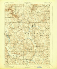
1905 Map of Clymer
USGS Topo · Published 1930About this map
Sherman and Clymer anchor this corner of Chautauqua County, where the hills of the Allegheny Plateau transition into the lowlands of the Lake Erie drainage. Surveyed just after the turn of the century, the landscape is defined by the winding course of French Creek and its many tributaries, such as Alder Bottom Creek and Beaver Meadow Brook. The presence of the Pennsylvania RR and the New York and line illustrates the vital rail connections between these agricultural communities, linking dairying hubs like North Clymer and Clymer Center. Genealogists will find interest in the numerous family-named crossroads, including Raters Corners, Sheldon Corners, and King Corners, which highlight a dense pattern of early twentieth-century rural settlement. To the west, Findley Lake serves as a prominent landmark, situated at the headwaters of the drainage system that flows toward the Ohio River basin.
Find a feature on this map
52 named features on this map. Tap any name to fly to it.
Don’t see what you’re looking for? This feature index may not catch every label — zoom into the map to look around manually.
Map Details
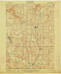
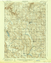
Editions of this 1905 Clymer Map
4 editions found
Other maps of this area

1899 · Westfield
USGS Topo · 1:62,500

1900 · Dunkirk
USGS Topo · 1:62,500

1904 · Chautaqua
USGS Topo · 1:62,500

1905 · Clymer
USGS Topo · 1:62,500

1913 · North East
USGS Topo · 1:62,500

1915 · North East
USGS Topo · 1:62,500

1926 · Youngsville
USGS Topo · 1:62,500

1929 · Corry
USGS Topo · 1:48,000

1929 · Youngsville
USGS Topo · 1:62,500

1929 · Union City
USGS Topo · 1:62,500