
1939 Map of Clymer
USGS Topo · Published 1957About this map
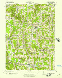
French Creek and its many tributaries, including Meadow Brook and Alder Bottom Creek, define the drainage patterns of this Chautauqua County landscape just before the mid-century. The Pennsylvania railroad serves as a primary transit corridor, connecting the village of Sherman with rural hubs like Panama Sta and North Clymer. The map reveals a high density of named crossroads and hamlets, such as Sheldon Corners, Wait Corners, and King Corners, which reflect the early 20th-century agrarian settlement pattern before consolidated transportation shifted regional growth. Educational history is preserved through landmarks like the Nettle Hill Sch, while the presence of Findley Lake in the west and Mayville in the northeast highlights the area's varied terrain from low-lying waters to the heights of Clymer Hill and Sweet Hill.
Find a feature on this map
46 named features on this map. Tap any name to fly to it.
Don’t see what you’re looking for? This feature index may not catch every label — zoom into the map to look around manually.
Map Details
Editions of this 1939 Clymer Map
4 editions found
Other maps of this area

1899 · Westfield
USGS Topo · 1:62,500

1900 · Dunkirk
USGS Topo · 1:62,500

1904 · Chautaqua
USGS Topo · 1:62,500

1905 · Clymer
USGS Topo · 1:62,500

1913 · North East
USGS Topo · 1:62,500

1915 · North East
USGS Topo · 1:62,500

1926 · Youngsville
USGS Topo · 1:62,500

1929 · Corry
USGS Topo · 1:48,000

1929 · Youngsville
USGS Topo · 1:62,500

1929 · Union City
USGS Topo · 1:62,500