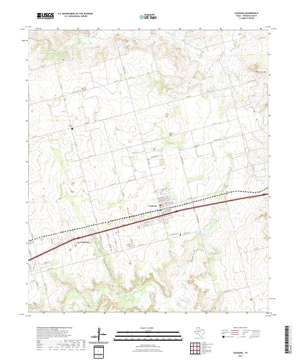
2022 Map of Coahoma
USGS Topo · Published 2022About this map
Coahoma serves as the primary hub in this Howard County landscape, situated along the major transportation corridor that bisects the region. The map reveals a structured grid of residential streets like Ramsey Ave and Pacific Ave that contrast with the sprawling network of county roads extending into the surrounding ranchland. To the west, Sand Springs sits along the same transit line, while the historical geography is anchored by rural burial sites including Salem Cem to the north and Coahoma Cem to the south.
Find a feature on this map
58 named features on this map. Tap any name to fly to it.
Don’t see what you’re looking for? This feature index may not catch every label — zoom into the map to look around manually.
Map Details
Editions of this 2022 Coahoma Map
This is the sole edition of this map. No revisions or reprints were ever made.
Other maps of this area

1941 · Big Spring South
USGS Topo · 1:62,500

1942 · Big Spring South
USGS Topo · 1:62,500

1942 · Big Spring North
USGS Topo · 1:62,500

1951 · Vincent
USGS Topo · 1:24,000

1951 · Iatan
USGS Topo · 1:24,000

1952 · Iatan
USGS Topo · 1:24,000

1954 · Big Spring
USGS Topo · 1:250,000

1954 · Big Spring North
USGS Topo · 1:24,000

1954 · Big Spring North NE
USGS Topo · 1:24,000

1958 · Big Spring
USGS Topo · 1:250,000