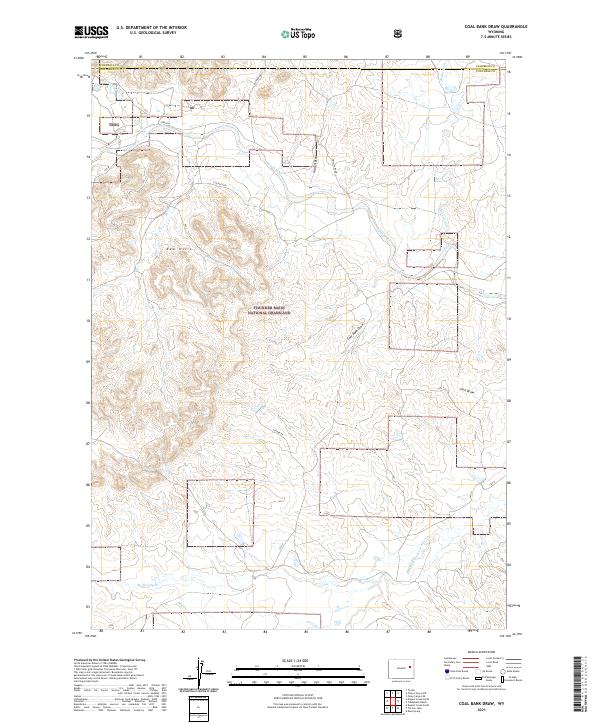
2021 Map of Coal Bank Draw
USGS Topo · Published 2021About this map
Thunder Basin National Grassland dominates this corner of the Powder River Basin, where the topography is defined by the Red Hills and a complex drainage network. The landscape is carved by numerous draws and creeks, notably the Dry Fork Cheyenne River in the south and Antelope Cr further north. While the area lacks large-scale settlements, the presence of Irwin Rd, Steckley Rd, and Phillips Road indicates the managed access required for local ranching and energy operations. This terrain is characterized by intermittent watercourses like Coal Bank Draw and Sunny Draw, which flow into larger systems like Porcupine Creek. The boundary between Campbell and Converse counties cuts across the northern edge, marking a jurisdictional transition in this high plains environment.
Find a feature on this map
24 named features on this map. Tap any name to fly to it.
Don’t see what you’re looking for? This feature index may not catch every label — zoom into the map to look around manually.
Map Details
Editions of this 2021 Coal Bank Draw Map
This is the sole edition of this map. No revisions or reprints were ever made.
Other maps of this area

1955 · Newcastle
USGS Topo · 1:250,000

1958 · Newcastle
USGS Topo · 1:250,000

1959 · Betty Reservoir
USGS Topo · 1:62,500

1971 · Fiddleback Ranch
USGS Topo · 1:24,000

1971 · Coal Bank Draw
USGS Topo · 1:24,000

1971 · Teckla
USGS Topo · 1:24,000

1971 · Esau Spring
USGS Topo · 1:24,000

1971 · Piney Canyon SW
USGS Topo · 1:24,000

1971 · Piney Canyon SE
USGS Topo · 1:24,000

1971 · Tin Can Lake
USGS Topo · 1:24,000