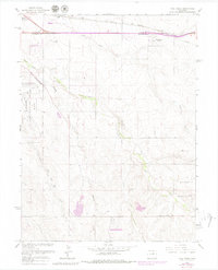
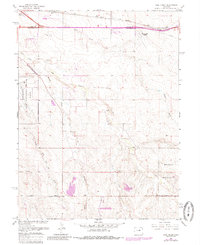
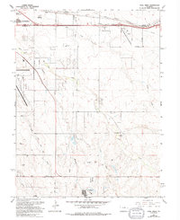
1966 Map of Coal Creek
USGS Topo · Published 1980About this map
The Aurora Corporate Boundary cuts across the western edge of this landscape, marking the transition from burgeoning suburban expansion to the open drainage plains of the High Plains. Dominated by a series of intermittent watercourses including Coal Creek, First Creek, and Murphy Creek, the area reflects a mid-century period of mixed-use development where military installations and recreational spaces shared the land. The expansive Buckley Air National Guard Base occupies much of the western terrain, while the Arapahoe Motorized State Recreation Area and a local Speedway indicate the region's historical role as a hub for outdoor and automotive activities. Transportation and utility corridors are prominent, with the Union Pacific railroad and a long Pipeline traversing the northern section near Columbine Airport. Smaller settlements like Pritchard and infrastructure such as Airline Road provide specific points of interest for local history researchers.
Find a feature on this map
23 named features on this map. Tap any name to fly to it.
Don’t see what you’re looking for? This feature index may not catch every label — zoom into the map to look around manually.
Map Details
Editions of this 1966 Coal Creek Map
6 editions found
Other maps of this area

1890 · East Denver
USGS Topo · 1:125,000

1935 · East Denver Nos. 3 and 4
USGS Topo · 1:48,000

1938 · Long Branch
USGS Topo · 1:24,000

1939 · Coal Creek
USGS Topo · 1:24,000

1940 · Piney Creek
USGS Topo · 1:24,000

1941 · Long Branch
USGS Topo · 1:31,680

1941 · Fitzsimons
USGS Topo · 1:31,680

1942 · Box Elder School
USGS Topo · 1:31,680

1942 · Parker
USGS Topo · 1:31,680

1942 · Piney Creek
USGS Topo · 1:31,680