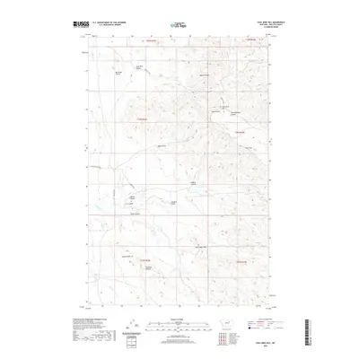
2020 Map of Coal Mine Hill
USGS Topo · Published 2020About this map
Coal Mine Hill and the surrounding high plains of Phillips County are defined by an intricate network of drainage channels known as coulees. This 2020 edition provides a clear record of the area's topographic character, where the Larb Hills rise above a landscape carved by Coal Mine Coulee, Wilson Coulee, and Box Elder Coulee. The presence of named features like Shoemaker Gap and prominent elevations such as Square Butte and Barnard Buttes suggests a territory of significant navigational landmarks in an otherwise open range.
Find a feature on this map
29 named features on this map. Tap any name to fly to it.
Don’t see what you’re looking for? This feature index may not catch every label — zoom into the map to look around manually.
Map Details
Editions of this 2020 Coal Mine Hill Map
This is the sole edition of this map. No revisions or reprints were ever made.
Other maps of this area

1954 · Jordan
USGS Topo · 1:250,000

1956 · Jordan
USGS Topo · 1:250,000

1958 · Jordan
USGS Topo · 1:250,000

1964 · Jordan
USGS Topo · 1:250,000

1965 · Coal Mine Hill
USGS Topo · 1:24,000

1965 · Sun Prairie
USGS Topo · 1:24,000

1965 · Herman Point
USGS Topo · 1:24,000

1965 · Schuyler Butte
USGS Topo · 1:24,000

1965 · Buckley Lake
USGS Topo · 1:24,000

1965 · Sheep Coulee
USGS Topo · 1:24,000