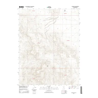
2014 Map of Coaldale NE
USGS Topo · Published 2014About this map
Monte Cristo Range dominates the southern portion of this topographic survey, showcasing a complex network of arid canyons and ridges that transition into the broad, open Monte Cristo Valley to the north. Located in Esmeralda County, the landscape is defined by its dramatic elevation changes and the stark, desert topography typical of the Great Basin. The map provides a detailed view of the Public Land Survey System township and range divisions, including t4n r37e and t5n r38e, which provide the underlying grid for land claims and historical mineral exploration in this mineral-rich portion of Nevada. The absence of modern infrastructure or permanent settlements highlights the isolated and primitive nature of this terrain during the early 21st century.
Find a feature on this map
8 named features on this map. Tap any name to fly to it.
Don’t see what you’re looking for? This feature index may not catch every label — zoom into the map to look around manually.
Map Details
Editions of this 2014 Coaldale NE Map
This is the sole edition of this map. No revisions or reprints were ever made.
Other maps of this area

1907 · Tonopah
USGS Topo · 1:250,000

1908 · Tonopah
USGS Topo · 1:250,000

1956 · Tonopah
USGS Topo · 1:250,000

1959 · Tonopah
USGS Topo · 1:250,000

1962 · Tonopah
USGS Topo · 1:250,000
1968 · Coaldale NE
USGS Topo · 1:24,000
1968 · Rock Hill
USGS Topo · 1:24,000
1968 · Coaldale
USGS Topo · 1:24,000
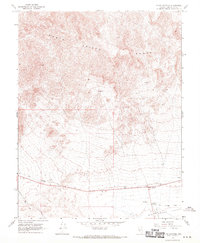
1968 · Blair Junction
USGS Topo · 1:24,000
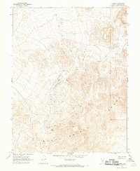
1968 · Gilbert
USGS Topo · 1:24,000