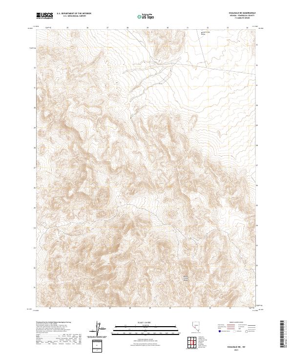
2021 Map of Coaldale NE
USGS Topo · Published 2021About this map
The Monte Cristo Range dominates the southern landscape of this Esmeralda County quadrangle, where sharp elevation changes define the desert environment. This high terrain drops sharply northward into the Monte Cristo Valley, a lower-lying basin area that occupies the northern reaches of the map. The topography here is characterized by complex drainage patterns and deep-cut ravines through the range, illustrating the harsh arid geomorphology of western Nevada. Managed largely as public lands under the Bureau of Land Management, the area shows little human development outside of basic survey markers and section lines, preserving the geological character of the Great Basin mountain-and-valley structure.
Find a feature on this map
8 named features on this map. Tap any name to fly to it.
Don’t see what you’re looking for? This feature index may not catch every label — zoom into the map to look around manually.
Map Details
Editions of this 2021 Coaldale NE Map
This is the sole edition of this map. No revisions or reprints were ever made.
Other maps of this area

1907 · Tonopah
USGS Topo · 1:250,000

1908 · Tonopah
USGS Topo · 1:250,000

1956 · Tonopah
USGS Topo · 1:250,000

1959 · Tonopah
USGS Topo · 1:250,000

1962 · Tonopah
USGS Topo · 1:250,000
1968 · Coaldale NE
USGS Topo · 1:24,000
1968 · Rock Hill
USGS Topo · 1:24,000
1968 · Coaldale
USGS Topo · 1:24,000
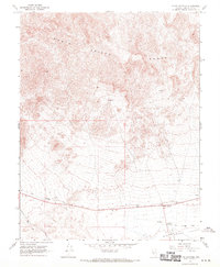
1968 · Blair Junction
USGS Topo · 1:24,000
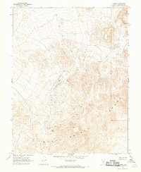
1968 · Gilbert
USGS Topo · 1:24,000