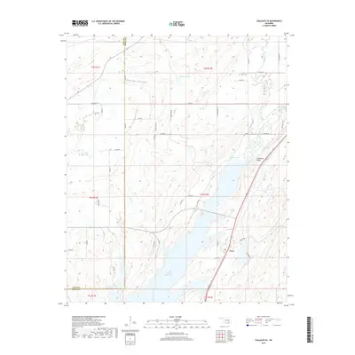
2019 Map of Coalgate SE
USGS Topo · Published 2019About this map
Flora stands near the eastern shores of the Atoka Reservoir in this section of southeastern Oklahoma. The landscape is defined by the significant hydrological footprint of the reservoir, which dominates the southern and central sections of the quadrangle, drawing from tributaries like Mill Cr, Coal Cr, and Buck Cr. To the northeast, the terrain rises toward Limestone Ridge and the Phillips Hollow area, while numerous smaller water bodies such as McEntire Lake and Troly Lake dot the countryside.
Find a feature on this map
54 named features on this map. Tap any name to fly to it.
Don’t see what you’re looking for? This feature index may not catch every label — zoom into the map to look around manually.
Map Details
Editions of this 2019 Coalgate SE Map
This is the sole edition of this map. No revisions or reprints were ever made.
Other maps of this area

1896 · Coalgate
USGS Topo · 1:125,000

1898 · McAlester
USGS Topo · 1:125,000

1899 · Coalgate
USGS Topo · 1:125,000

1899 · Atoka
USGS Topo · 1:125,000

1900 · Atoka
USGS Topo · 1:125,000

1900 · Coalgate
USGS Topo · 1:125,000

1901 · Antlers
USGS Topo · 1:125,000

1909 · Mc Alester
USGS Topo · 1:125,000

1912 · Antlers
USGS Topo · 1:125,000

1925 · Antlers
USGS Topo · 1:125,000