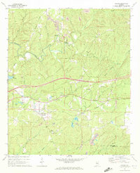
1969 Map of Coaling
USGS Topo · Published 1972About this map
The Southern railroad corridor anchors this survey of eastern Tuscaloosa County, where the coal and timber landscape is defined by the winding tributaries of Black Hurricane Creek and Big Sandy Creek. Small communities like Coaling and Dudley are centers of local life, characterized by a high density of country churches and family burial grounds such as Mt Zion Ch (Cem) and Enterprise Ch (Cem).
Find a feature on this map
47 named features on this map. Tap any name to fly to it.
Don’t see what you’re looking for? This feature index may not catch every label — zoom into the map to look around manually.
Map Details
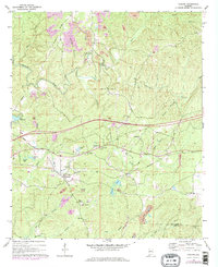
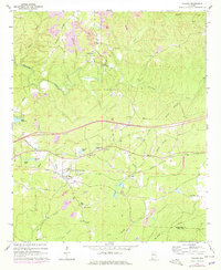
Editions of this 1969 Coaling Map
3 editions found
Other maps of this area

1899 · Brookwood
USGS Topo · 1:125,000

1927 · Adger
USGS Topo · 1:48,000

1929 · Searles
USGS Topo · 1:48,000

1931 · Cottondale
USGS Topo · 1:48,000

1932 · Yolande
USGS Topo · 1:62,500

1934 · Searles
USGS Topo · 1:62,500

1934 · Cottondale
USGS Topo · 1:62,500

1934 · Blocton
USGS Topo · 1:48,000

1935 · Yolande
USGS Topo · 1:62,500

1940 · Blocton
USGS Topo · 1:62,500