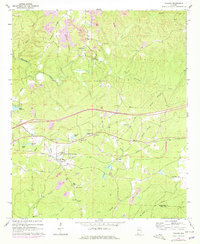
1969 Map of Coaling
USGS Topo · Published 1978About this map
Coaling and Cedar Cove anchor this landscape during a period of transition for the eastern Tuscaloosa County coalfields. The Southern railway corridor defines the central valley, passing through the heart of town near New Asia Ch and several family-named water bodies like Sniders Lake and Blacks Lake. The map reveals a land heavily shaped by industrial activity, with numerous Strip Mine sites and Gravel Pit operations interspersed among local landmarks such as Thomas Chapel and Pineview Sch.
Find a feature on this map
44 named features on this map. Tap any name to fly to it.
Don’t see what you’re looking for? This feature index may not catch every label — zoom into the map to look around manually.
Map Details
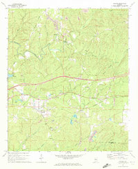
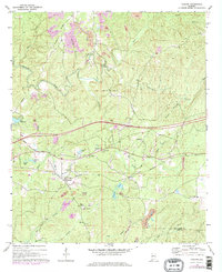
Editions of this 1969 Coaling Map
3 editions found
Other maps of this area

1899 · Brookwood
USGS Topo · 1:125,000

1927 · Adger
USGS Topo · 1:48,000

1929 · Searles
USGS Topo · 1:48,000

1931 · Cottondale
USGS Topo · 1:48,000

1932 · Yolande
USGS Topo · 1:62,500

1934 · Searles
USGS Topo · 1:62,500

1934 · Cottondale
USGS Topo · 1:62,500

1934 · Blocton
USGS Topo · 1:48,000

1935 · Yolande
USGS Topo · 1:62,500

1940 · Blocton
USGS Topo · 1:62,500