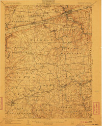
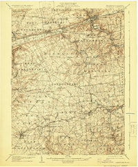
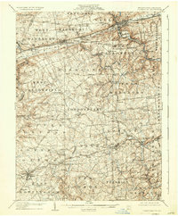
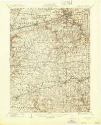
1906 Map of Coatesville
USGS Topo · Published 1910About this map
The Pennsylvania Railroad (Philadelphia Division) serves as the primary industrial artery for northern Chester County at the turn of the century, connecting manufacturing hubs like Coatesville and Parkesburg. To the south, the landscape shifts from iron-and-steel rail corridors to the academic and agrarian heart of the region, anchored by the prominent campus of Lincoln University. This era captures a complex network of turnpikes and rural post offices, such as Homeville (Collamer PO) and Daleville (Londonderry PO), which acted as vital community nodes before the modernization of the road system. The topography is defined by the winding paths of Octoraro Creek and the Middle Branch White Clay Creek, whose drainage patterns dictated the placement of early settlements and local roads like the Gap and Newport Road.
Find a feature on this map
96 named features on this map. Tap any name to fly to it.
Don’t see what you’re looking for? This feature index may not catch every label — zoom into the map to look around manually.
Map Details
Editions of this 1906 Coatesville Map
8 editions found
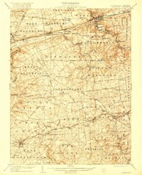
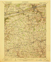
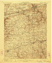
Other maps of this area

1898 · Elkton
USGS Topo · 1:62,500

1900 · Elkton
USGS Topo · 1:62,500

1900 · Havre De Grace
USGS Topo · 1:62,500

1901 · West Chester
USGS Topo · 1:62,500

1904 · West Chester
USGS Topo · 1:62,500

1904 · Coatesville
USGS Topo · 1:62,500

1904 · Wilmington
USGS Topo · 1:62,500

1905 · Honey Brook
USGS Topo · 1:62,500

1906 · Phoenixville
USGS Topo · 1:62,500

1906 · Coatesville
USGS Topo · 1:62,500