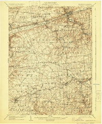
1906 Map of Coatesville
USGS Topo · Published 1929About this map
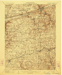
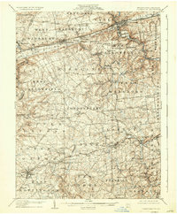
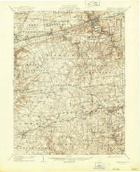
Coatesville serves as the industrial hub of this Chester County landscape, where the Pennsylvania RR and the Philadelphia And Reading RR converge. The northern terrain is defined by the prominent heights of Mine Ridge and Salisbury Ridge, which historically separated the agricultural valleys of the south from the industrial corridors to the north. This 1906 survey captures the dense network of early thoroughfares such as the Philadelphia and Lancaster Turnpike and the Strasburg Road, which linked established boroughs like Parkesburg and Atglen to the surrounding countryside.
Find a feature on this map
114 named features on this map. Tap any name to fly to it.
Don’t see what you’re looking for? This feature index may not catch every label — zoom into the map to look around manually.
Map Details
Editions of this 1906 Coatesville Map
8 editions found
Other maps of this area

1898 · Elkton
USGS Topo · 1:62,500

1900 · Elkton
USGS Topo · 1:62,500

1900 · Havre De Grace
USGS Topo · 1:62,500

1901 · West Chester
USGS Topo · 1:62,500

1904 · West Chester
USGS Topo · 1:62,500

1904 · Coatesville
USGS Topo · 1:62,500

1904 · Wilmington
USGS Topo · 1:62,500

1905 · Honey Brook
USGS Topo · 1:62,500

1906 · Phoenixville
USGS Topo · 1:62,500

1906 · Coatesville
USGS Topo · 1:62,500