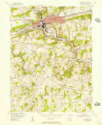
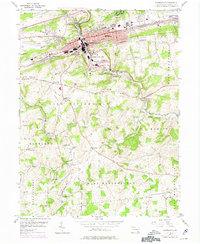
1953 Map of Coatesville
USGS Topo · Published 1956About this map
Industrial Coatesville and its surrounding hill country are captured here during the mid-1950s, showing a landscape shaped by the West Branch Brandywine Creek and a dense network of transportation. The heavy industry of the city, dominated by rail lines like the Reading and Pennsylvania railroads, contrasts with the agrarian character of townships such as East Fallowfield and West Marlborough. Notable institutions serve the region, including the sprawling U S Veterans Hospital and Scott High Sch.
Find a feature on this map
63 named features on this map. Tap any name to fly to it.
Don’t see what you’re looking for? This feature index may not catch every label — zoom into the map to look around manually.
Map Details
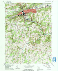
Editions of this 1953 Coatesville Map
6 editions found
Other maps of this area

1901 · West Chester
USGS Topo · 1:62,500

1904 · West Chester
USGS Topo · 1:62,500

1904 · Coatesville
USGS Topo · 1:62,500

1905 · Honey Brook
USGS Topo · 1:62,500

1906 · Phoenixville
USGS Topo · 1:62,500

1906 · Coatesville
USGS Topo · 1:62,500

1907 · Honeybrook
USGS Topo · 1:62,500

1918 · Coatesville
USGS Topo · 1:62,500

1941 · Honeybrook
USGS Topo · 1:62,500

1943 · Coatesville
USGS Topo · 1:62,500