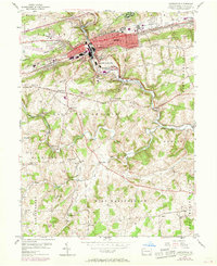
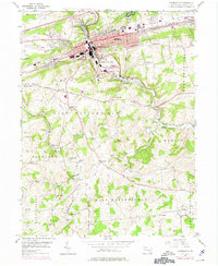
1953 Map of Coatesville
USGS Topo · Published 1969About this map
The industrial corridor of Coatesville and the South Valley Hills are defined by the convergence of the Penn Central and Reading railroads during this mid-century period. While the urban center is marked by institutions like the Scott High Sch and the expansive US Veterans Hospital, the surrounding countryside of East Fallowfield and West Marlborough remains a landscape of historic crossroads and small hamlets. Deep-rooted community markers like Hephzibah Ch and the St Malachi Ch anchor the rural townships, while the branching path of Brandywine Creek and its tributaries like Doe Run dictate the area's natural topography. The transition from industrial hubs like Modena and South Coatesville to quiet settlements like Ercildoun reflects the diverse character of Chester County just before later-century suburban expansion.
Find a feature on this map
77 named features on this map. Tap any name to fly to it.
Don’t see what you’re looking for? This feature index may not catch every label — zoom into the map to look around manually.
Map Details
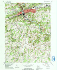
Editions of this 1953 Coatesville Map
6 editions found
Other maps of this area

1901 · West Chester
USGS Topo · 1:62,500

1904 · West Chester
USGS Topo · 1:62,500

1904 · Coatesville
USGS Topo · 1:62,500

1905 · Honey Brook
USGS Topo · 1:62,500

1906 · Phoenixville
USGS Topo · 1:62,500

1906 · Coatesville
USGS Topo · 1:62,500

1907 · Honeybrook
USGS Topo · 1:62,500

1918 · Coatesville
USGS Topo · 1:62,500

1941 · Honeybrook
USGS Topo · 1:62,500

1943 · Coatesville
USGS Topo · 1:62,500