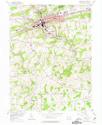
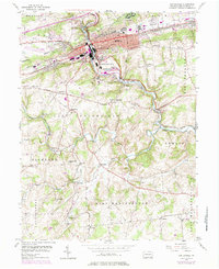
1953 Map of Coatesville
USGS Topo · Published 1975About this map
Industrial and transportation corridors define this mid-century survey of the Chester County landscape, where Coatesville serves as the focal point for regional rail and river activity. The confluence of Brandywine Creek and its many tributaries, including Buck Run and Doe Run, shaped the settlement patterns of agricultural hamlets like Mortonville and Ercildoun. Significant institutional landmarks are recorded, such as the U S Veterans Hospital and Scott High Sch, alongside numerous places of worship including Hephzibah Ch and St Malachi Ch. The mapping highlights the transition of the rail network, showing the Penn Central and Reading lines as they serviced the valley's manufacturing base. Genealogy researchers will find value in the specific locations of rural burial grounds like Fallowfield Cem and Fairview Cemetery, and the persistence of family-named landmarks across the Valley Hills.
Find a feature on this map
70 named features on this map. Tap any name to fly to it.
Don’t see what you’re looking for? This feature index may not catch every label — zoom into the map to look around manually.
Map Details
Editions of this 1953 Coatesville Map
6 editions found
Other maps of this area

1901 · West Chester
USGS Topo · 1:62,500

1904 · West Chester
USGS Topo · 1:62,500

1904 · Coatesville
USGS Topo · 1:62,500

1905 · Honey Brook
USGS Topo · 1:62,500

1906 · Phoenixville
USGS Topo · 1:62,500

1906 · Coatesville
USGS Topo · 1:62,500

1907 · Honeybrook
USGS Topo · 1:62,500

1918 · Coatesville
USGS Topo · 1:62,500

1941 · Honeybrook
USGS Topo · 1:62,500

1943 · Coatesville
USGS Topo · 1:62,500