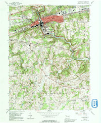
1953 Map of Coatesville
USGS Topo · Published 1992About this map
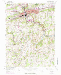
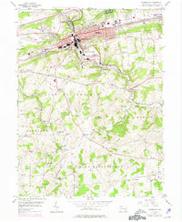
The Valley Hills frame a dense industrial and residential corridor where the Pennsylvania Railroad and the Lincoln Highway intersect. Coatesville serves as the primary urban hub, surrounded by satellite settlements like South Coatesville, Newlinville, and Westwood. The map reveals a landscape defined by sharp transitions between the heavy infrastructure of the valley floor and the rolling agricultural lands of East Fallowfield and West Marlborough.
Find a feature on this map
67 named features on this map. Tap any name to fly to it.
Don’t see what you’re looking for? This feature index may not catch every label — zoom into the map to look around manually.
Map Details
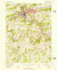
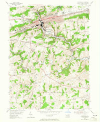
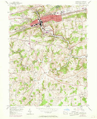
Editions of this 1953 Coatesville Map
6 editions found
Other maps of this area

1901 · West Chester
USGS Topo · 1:62,500

1904 · West Chester
USGS Topo · 1:62,500

1904 · Coatesville
USGS Topo · 1:62,500

1905 · Honey Brook
USGS Topo · 1:62,500

1906 · Phoenixville
USGS Topo · 1:62,500

1906 · Coatesville
USGS Topo · 1:62,500

1907 · Honeybrook
USGS Topo · 1:62,500

1918 · Coatesville
USGS Topo · 1:62,500

1941 · Honeybrook
USGS Topo · 1:62,500

1943 · Coatesville
USGS Topo · 1:62,500