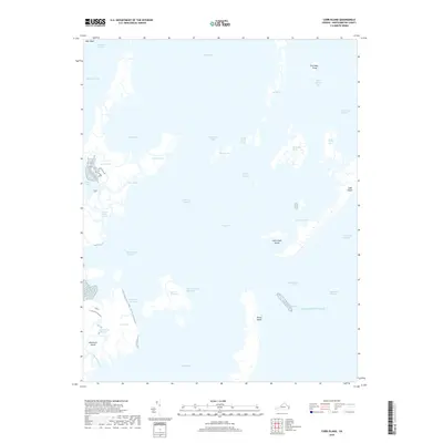
2019 Map of Cobb Island
USGS Topo · Published 2019About this map
Cobb Island and the neighboring barrier islands of Northampton County define this 2019 survey of Virginia's Atlantic coastline. The landscape is a complex network of marshes and tidal channels, where larger water bodies like Cobb Bay and South Bay transition into narrower passages such as Eckichy Channel and Ramshorn Channel. The map illustrates the fragile coastal morphology of the Eastern Shore, from the protected interior of Mockhorn Island to the exposed sands of Wreck Island. Local landmarks like Big Easter Marsh and Gull Marsh represent the extensive wetland systems that buffer the mainland from the Atlantic Ocean. Genealogists and historians interested in maritime heritage can trace the historical naming conventions of these waterways, including the Man and Boy Channel and Spidercrab Bay, which reflect the region's long-standing connection to coastal seafaring and commercial fishing.
Find a feature on this map
39 named features on this map. Tap any name to fly to it.
Don’t see what you’re looking for? This feature index may not catch every label — zoom into the map to look around manually.
Map Details
Editions of this 2019 Cobb Island Map
This is the sole edition of this map. No revisions or reprints were ever made.
Other maps of this area

1941 · Broadwater
USGS Topo · 1:62,500

1942 · Cheriton
USGS Topo · 1:24,000

1942 · Cobb Island
USGS Topo · 1:24,000

1942 · Great Machipongo Inlet
USGS Topo · 1:24,000

1942 · Little Machipongo Inlet
USGS Topo · 1:24,000

1942 · Nassawadox
USGS Topo · 1:24,000

1943 · Nassawadox
USGS Topo · 1:31,680

1943 · Townsend
USGS Topo · 1:24,000

1943 · Franktown
USGS Topo · 1:31,680

1946 · Eastville
USGS Topo · 1:250,000