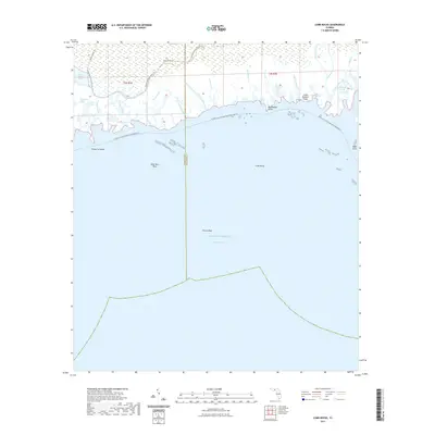
2021 Map of Cobb Rocks
USGS Topo · Published 2021About this map
Apalachee Bay and the Gulf of Mexico dominate this coastal survey along the boundary of Wakulla and Jefferson Counties. The shoreline is a complex network of tidal inlets and marshy passages, defined by features like Big Redfish Point, Little Redfish Point, and Wills Point. Inland, the landscape is saturated with water, characterized by the Stony Bayou Pool and the meandering paths of the Pinhook River and Gator Creek. This environment is shaped by both natural flow and historical navigation, evident in the Pinhook Cut-Off and the many named creeks such as Haulover Creek and Peter Creek.
Find a feature on this map
38 named features on this map. Tap any name to fly to it.
Don’t see what you’re looking for? This feature index may not catch every label — zoom into the map to look around manually.
Map Details
Editions of this 2021 Cobb Rocks Map
This is the sole edition of this map. No revisions or reprints were ever made.
Other maps of this area

1949 · Apalachicola
USGS Topo · 1:250,000

1954 · Sprague Island
USGS Topo · 1:24,000

1954 · St. Marks NE
USGS Topo · 1:24,000

1954 · St. Marks
USGS Topo · 1:24,000

1954 · Cobb Rocks
USGS Topo · 1:24,000

1954 · Gainesville
USGS Topo · 1:250,000

1954 · Valdosta
USGS Topo · 1:250,000

1954 · Tallahassee
USGS Topo · 1:250,000

1955 · Snipe Island
USGS Topo · 1:24,000

1955 · Nutall Rise
USGS Topo · 1:24,000