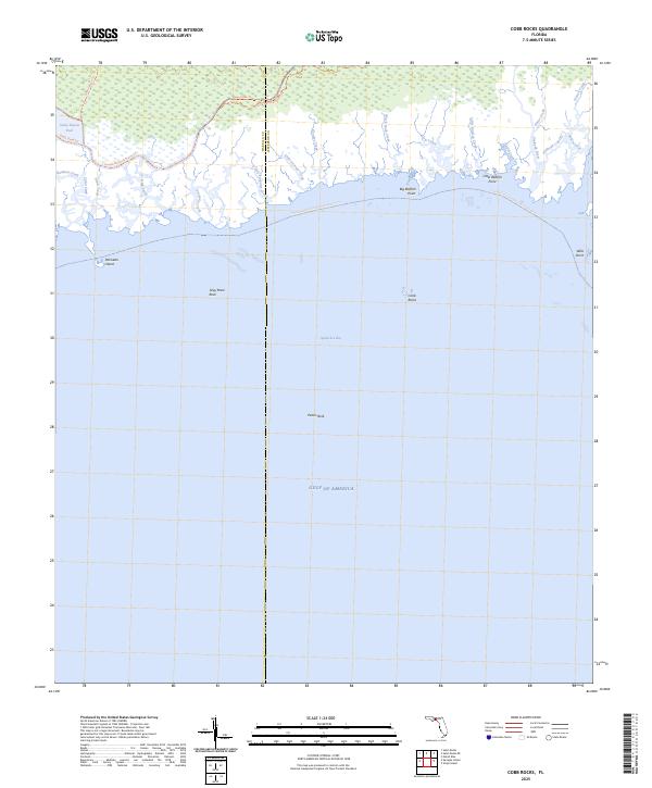
2025 Map of Cobb Rocks
USGS Topo · Published 2025About this map
Apalachee Bay defines this coastal landscape where the low-lying marshlands of the Florida Panhandle meet the Gulf Of America. The area is characterized by a dense network of tidal inlets and creeks, including Porpoise Creek and Grooms Creek, which drain the expansive wetlands along the Wakulla and Jefferson County line. These waterways flow past distinct coastal landmarks such as Big Redfish Point and Wills Point, illustrating the delicate transition between terrestrial and marine environments.
Find a feature on this map
31 named features on this map. Tap any name to fly to it.
Don’t see what you’re looking for? This feature index may not catch every label — zoom into the map to look around manually.
Map Details
Editions of this 2025 Cobb Rocks Map
This is the sole edition of this map. No revisions or reprints were ever made.
Other maps of this area

1949 · Apalachicola
USGS Topo · 1:250,000

1954 · Sprague Island
USGS Topo · 1:24,000

1954 · St. Marks NE
USGS Topo · 1:24,000

1954 · St. Marks
USGS Topo · 1:24,000

1954 · Cobb Rocks
USGS Topo · 1:24,000

1954 · Gainesville
USGS Topo · 1:250,000

1954 · Valdosta
USGS Topo · 1:250,000

1954 · Tallahassee
USGS Topo · 1:250,000

1955 · Snipe Island
USGS Topo · 1:24,000

1955 · Nutall Rise
USGS Topo · 1:24,000