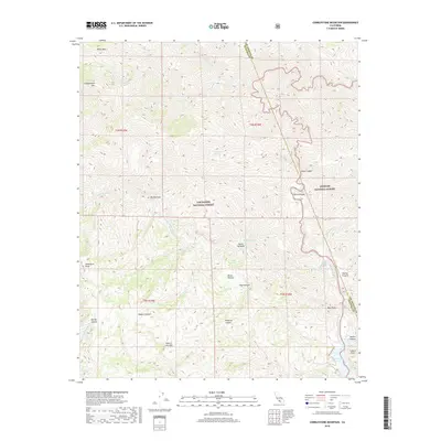
2018 Map of Cobblestone Mountain
USGS Topo · Published 2018About this map
Los Padres National Forest and Angeles National Forest meet in this high-altitude landscape dominated by the peaks of Cobblestone Mtn and White Mtn. The terrain is defined by a complex drainage system where Agua Blanca Cr and Piru Cr carve through narrow passages such as Big Narrows and the strikingly named Devils Gateway. Near the southern boundary, the waters of Lake Piru collect below Fustero Point, marking a transition from the steep, interior wilderness to more accessible water resources.
Find a feature on this map
38 named features on this map. Tap any name to fly to it.
Don’t see what you’re looking for? This feature index may not catch every label — zoom into the map to look around manually.
Map Details
Editions of this 2018 Cobblestone Mountain Map
This is the sole edition of this map. No revisions or reprints were ever made.
Other maps of this area

1900 · Piru
USGS Topo · 1:62,500

1903 · Tejon
USGS Topo · 1:125,000

1903 · Camulos
USGS Topo · 1:125,000

1903 · Santa Susana
USGS Topo · 1:62,500

1921 · Piru
USGS Topo · 1:62,500

1931 · Whitaker Peak
USGS Topo · 1:24,000

1931 · Santa Felicia Canyon
USGS Topo · 1:24,000

1932 · Beartrap Canyon
USGS Topo · 1:24,000

1935 · Santa Felicia Canyon
USGS Topo · 1:24,000

1935 · Whitaker Peak
USGS Topo · 1:24,000