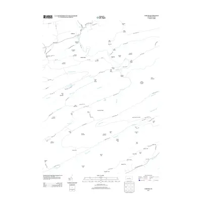
2013 Map of Coburn
USGS Topo · Published 2013About this map
Coburn sits at the confluence of Elk Cr and Pine Cr, serving as a focal point in a landscape defined by deep valleys and high ridges. The area reflects a history of conservation and outdoor recreation, centered on Poe Valley State Park and the waters of Poe Lake. Traces of earlier land use are evident in labels such as the CCC Camp and the winding route of Penns Cr, which cuts through the mountainous terrain. Further east, the settlement of Ingleby lies near Lick Hollow and Sawmill Knob, indicating a legacy of local timber or milling activity. The map records numerous gaps and hollows, including Stillhouse Hollow and Rupp Hollow, which suggest the early industrial and domestic history of these isolated Pennsylvanian drainages. This survey captures the region just as modern environmental management and forestry practices have preserved the character of Big Poe Valley and Old Mingle Valley.
Find a feature on this map
104 named features on this map. Tap any name to fly to it.
Don’t see what you’re looking for? This feature index may not catch every label — zoom into the map to look around manually.
Map Details
Editions of this 2013 Coburn Map
This is the sole edition of this map. No revisions or reprints were ever made.
Other maps of this area

1924 · Centre Hall
USGS Topo · 1:62,500

1924 · Lewistown
USGS Topo · 1:62,500

1925 · Mifflintown
USGS Topo · 1:48,000

1927 · Lewisburg
USGS Topo · 1:62,500

1929 · Centre Hall
USGS Topo · 1:62,500

1934 · Mifflintown
USGS Topo · 1:62,500

1937 · Mifflintown
USGS Topo · 1:62,500

1937 · Millheim
USGS Topo · 1:48,000

1941 · Millheim
USGS Topo · 1:62,500

1943 · Lewistown
USGS Topo · 1:125,000