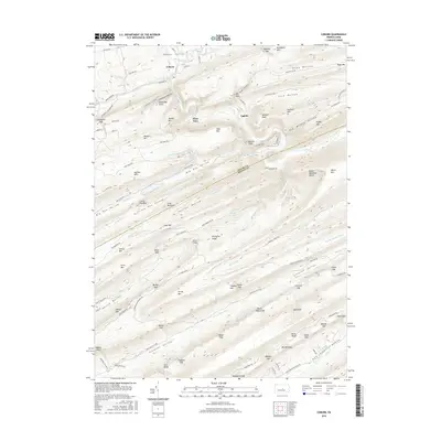
2016 Map of Coburn
USGS Topo · Published 2016About this map
Penns Creek and its tributaries carve a series of parallel ridges and valleys along the border of Centre and Mifflin Counties. The settlement of Coburn sits at the confluence of Elk Creek and Penns Creek, where the local road network, including Railroad St and Main St, reflects the historical importance of this water-gap junction. The landscape is defined by deep, named hollows and gaps such as Stillhouse Hollow, Rupp Hollow, and Greenbrier Gap, indicating a long history of local land use and naming conventions.
Find a feature on this map
114 named features on this map. Tap any name to fly to it.
Don’t see what you’re looking for? This feature index may not catch every label — zoom into the map to look around manually.
Map Details
Editions of this 2016 Coburn Map
This is the sole edition of this map. No revisions or reprints were ever made.
Other maps of this area

1924 · Centre Hall
USGS Topo · 1:62,500

1924 · Lewistown
USGS Topo · 1:62,500

1925 · Mifflintown
USGS Topo · 1:48,000

1927 · Lewisburg
USGS Topo · 1:62,500

1929 · Centre Hall
USGS Topo · 1:62,500

1934 · Mifflintown
USGS Topo · 1:62,500

1937 · Mifflintown
USGS Topo · 1:62,500

1937 · Millheim
USGS Topo · 1:48,000

1941 · Millheim
USGS Topo · 1:62,500

1943 · Lewistown
USGS Topo · 1:125,000